Muara Wae Pesi
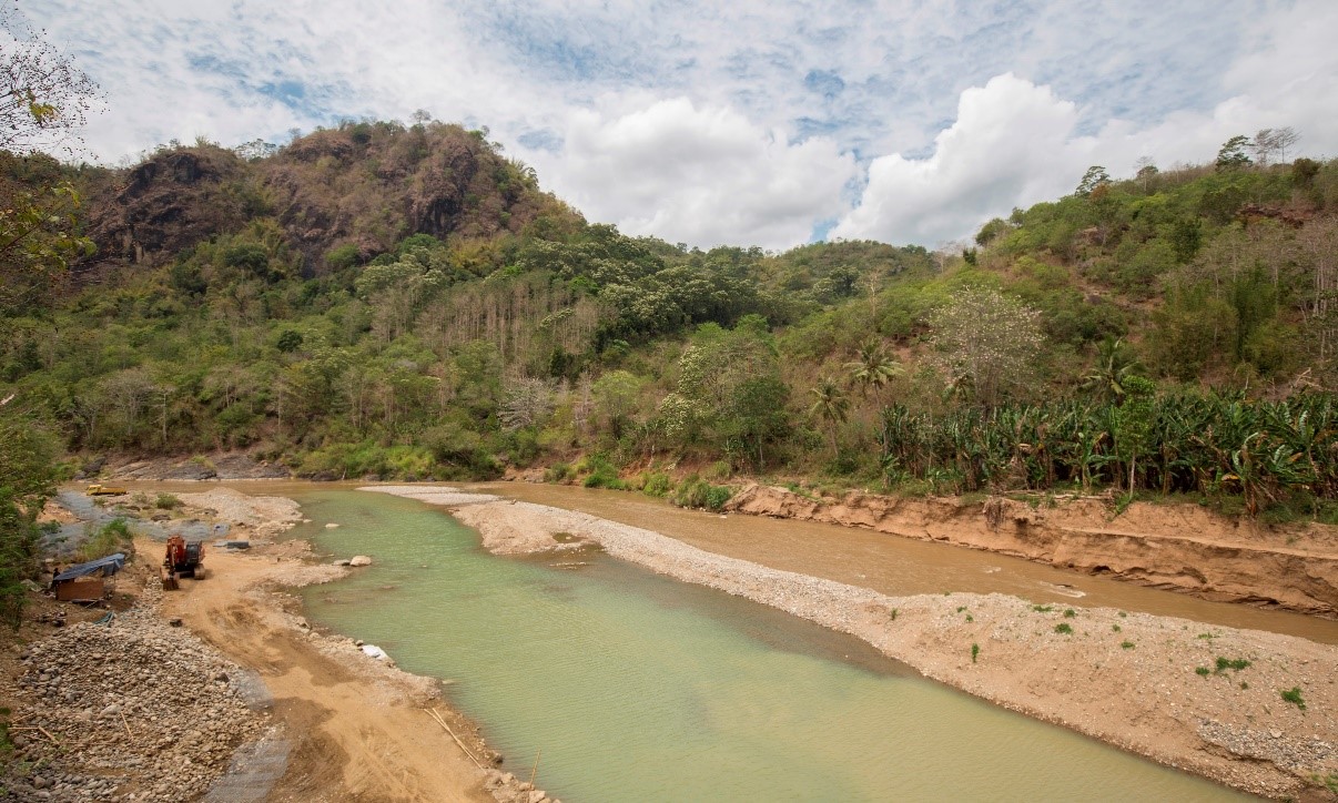
Wae Pesi merupakan sungai terpanjang di Kabupaten Manggarai. Obyek wisata ini terletak di wilayah Pantai Utara (Pantura) tepatnya di Reo, Kecamatan Reok, Kabupaten Manggarai. Muara sungai Wae Pesi ini sangat luas dengan lebar sekitar 100 meter dan panjangnya membentang sekitar 2 km terhitung dari hilir sampai hulu di sekitaran Jembatan Gongger.
Muara sungai Wae Pesi saat ini belum ditata, masih sangat alami. Pengunjung dapat menjajal beberapa suguhan makanan atau minuman di tepi muara sambil berfoto ria menikmati pemandangan alam Muara Sungai Wae Pesi yang menjadi tempat bersandarnya kapal-kapal nelayan. Berjarak 47 km dari Ruteng, ibu kota Kabupaten Manggarai, Muara Sungai Wae Pesi dapat ditempuh menggunakan sepeda motor atau mobil melintasi jalan Ruteng-Reo dengan menghabiskan waktu sekitar 1 jam berkendara.
| Koordinat : S 08° 22.878′ E 120° 28. 609′
Jarak dari Titik 0 : 47 km Elevasi : 86 mdpl
|
ENGLISH VERSION
Wae Pesi is the longest river in Manggarai Regency. This tourist attraction is located in the North Coast (Pantura) area, specifically in Reo, Reok District, Manggarai Regency. The mouth of the Wae Pesi River is very wide, with a width of approximately 100 meters and a length of about 2 km, stretching from the downstream to the upstream area around Gongger Bridge. The mouth of the Wae Pesi River is currently undeveloped and still very natural. Visitors can try some food or drinks on the riverbank while taking photos and enjoying the natural scenery of the Wae Pesi River mouth, which is where fishing boats dock. Located 47 km from Ruteng, the capital of Manggarai Regency, the Wae Pesi River mouth can be reached by motorcycle or car via the Ruteng-Reo road, taking approximately 1 hour to drive.
Coordinates : S 08° 22.878′ E 120° 28. 609′
Distance from Point 0 : 47 km
Elevation : 86 m above sea level
Contact :